LOCATION

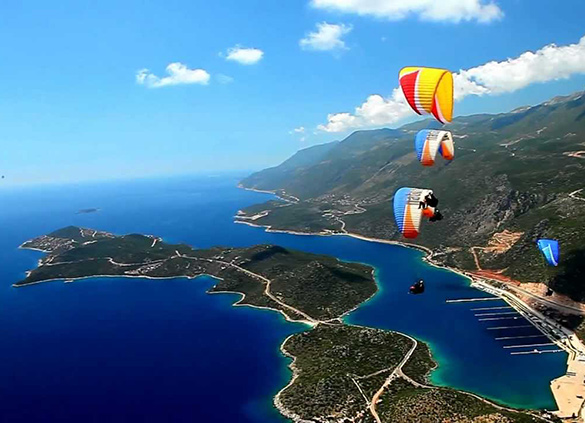
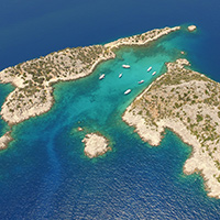
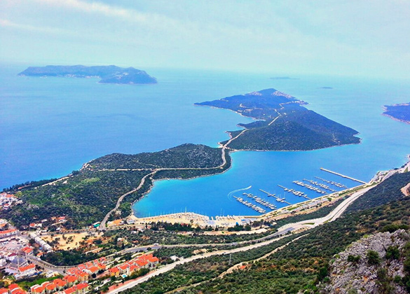
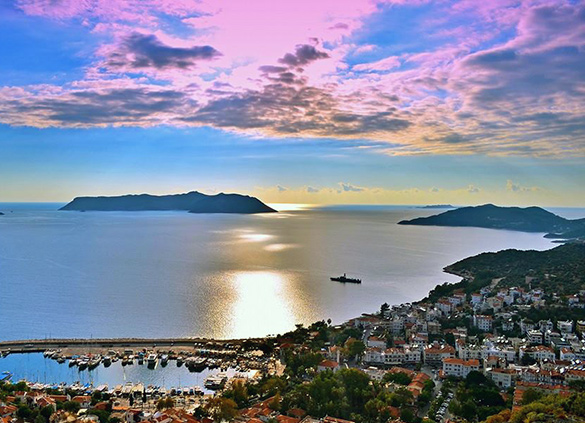
KAŞ / ÇUKURBAĞ PENINSULA

Kaş is a touristic town located at west of Antalya city. It has 2231 skm. It is the fourth largest area among Antalya's towns. The west coast starts from Esen river and reaches Üçağız on east. Total coast is 90 km. It is just across to the Meis island in Mediterranean sea. There are a lot of natural beauties and historical places around Kaş. The peninsula is like a tongue of the land in Mediterranean sea. It is possible to swim in Büyük Çakıl Beach, Küçük Çakıl Beach and Akçagerme Beach. You can also row a boat and swim in Limanağzı Beach.

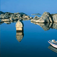
There are 6 caves around Kaş. You can visit them, or make caving sport. Some of them are Mavi (Blue) (Cave), Aşırlı island sea cave, Güvercinlik Cave (famous with it's pigeons).

Trekking, mountain climbing, rafting are thriving in the region. Yeşilgöl and Uçarsu waterfalls are points of interest in Gömbe. Gömbe which is 65 km far from Kaş is a small plateau town located near the Akdağ and it has 1200 m altitude. Akdağ is the secong highest mountain in western taurus region.

An important sunken city in Kekova is worth seeing can be reached by boat or drive until Üçağız and visit there with rowing-boat.

There is an ancient city at Gömbe called Komba. Nisa ancient city is just 13 kms far from there. Phellos ancient city is 12 kms far from Kaş. There are ancient cities around Kaş named as Istlada, Apollonia, Isinda, Kyaenai and many more noname ancient ruins. They are large and small settlements. For there are ruins of an old settlement on a low hill near of Tüse village

Scuba diving and and paragliding are the most important activities in the town. Here is well known with scuba diving over the world.

DISTANCES

AIRPORTS

Dalaman: 152 km & Antalya: 207 km

KAPUTAŞ BEACH

25 km

KEKOVA

42 km

DEMRE

53 km